Accurate aerial surveying of buildings, landscapes and the places people care about.
About Horizon.
Introduction.
Horizon Aerial Insight was founded by Nick Hall to provide clear, dependable aerial data for historic buildings, archaeological sites, landscapes and wider surveying projects.
The work combines advanced drone capture and digital modelling with something more grounded: a practical understanding of how buildings are made, how they age, and what it takes to look after them properly.
Philosophy.
The drone is not the product.
It is a tool.
Used well, it allows buildings, landscapes and sites to be recorded safely, efficiently and in remarkable detail – creating digital records that can support conservation, planning, monitoring and decision-making over time.
Nick’s story.
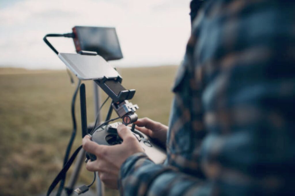
Nick Hall is the founder and director of Horizon Aerial Insight.
He brings together technical drone capability, digital modelling and a lifelong interest in buildings, landscapes and the detail of how places are put together.
The focus is never just on producing impressive imagery.
It is on creating accurate, useful records that help clients understand condition, identify issues and make informed decisions.
From historic churches and listed buildings to landscapes, land and hard-to-access sites, Horizon’s work is carried out with care, precision and a deep respect for the place being recorded.
Before Horizon, Nick built his understanding of structures through hands-on experience
as a carpenter and joiner.
That practical background
continues to shape how he approaches the survey work
he does today.
Have a site, building or landscape
you need to understand more
clearly?
Contact Horizon Aerial Insight to chat about your project and receive a tailored quote.