Projects
Our work spans historic buildings, archaeological sites and wider surveying applications.
While each project is different, the aim is consistent: to create accurate, measurable records that help you understand condition, reduce risk and make informed decisions.
Historic Building Surveys and
3D Modelling.
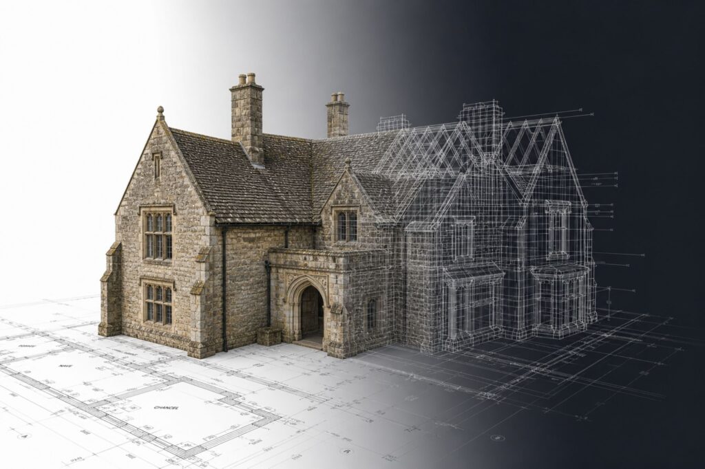
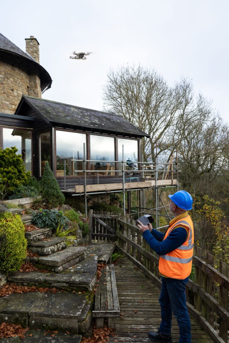
We create detailed 3D models and records of historic and listed buildings – helping those responsible for their care understand how they are performing today, and what may need attention.
Our surveys support conservation, restoration planning and
long-term monitoring, providing a reliable record that can be revisited over time.
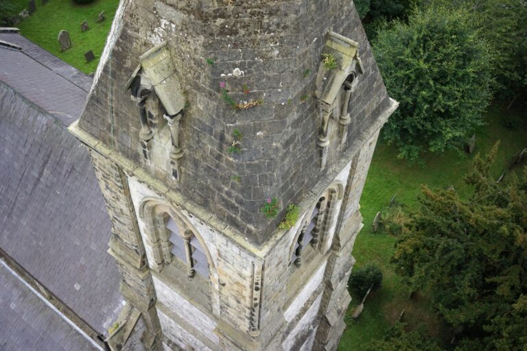
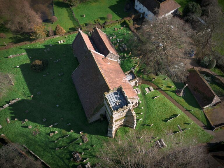
The non-invasive nature of drone surveying makes it particularly suited to sensitive or hard-to-access structures, where traditional methods can be disruptive or impractical.
Land Surveys and
Aerial Mapping Services.
Alongside heritage work, we support a range of land and infrastructure projects — providing fast, safe and cost-effective aerial data capture.
Drone-based surveying is particularly useful for large or complex sites, reducing time on site while delivering accurate, measurable outputs for planning, inspection and analysis.
Archaeological Drone Surveys
and Mapping.
Aerial surveying offers a broader perspective on archaeological landscapes – revealing patterns, features and relationships that are not always visible from the ground.
We produce high-resolution maps and 3D reconstructions to support site documentation, excavation planning and ongoing analysis — all without disturbing the site itself.