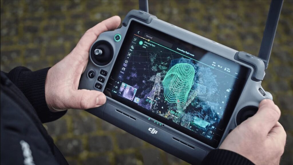
Drone surveying uses UAV (unmanned aerial vehicle) technology to capture aerial imagery and geospatial data. This data is processed into:
– 3D models – Orthomosaic maps – Digital terrain models
It’s a modern alternative to traditional surveying – reducing time, cost, and risk while improving accuracy.
• Our Process
Capture
High-resolution
drone data safely
and efficiently
Create
Precise 3D models
and maps from
advanced processing
Deliver
Clear, usable
outputs tailored to your project
• Why Choose Horizon Aerial Insight
We combine local knowledge of the South West with advanced drone surveying technology to deliver accurate, dependable results. Whether your project is in Somerset, Devon, Cornwall, Bristol or Dorset, we provide tailored aerial survey solutions you can rely on.
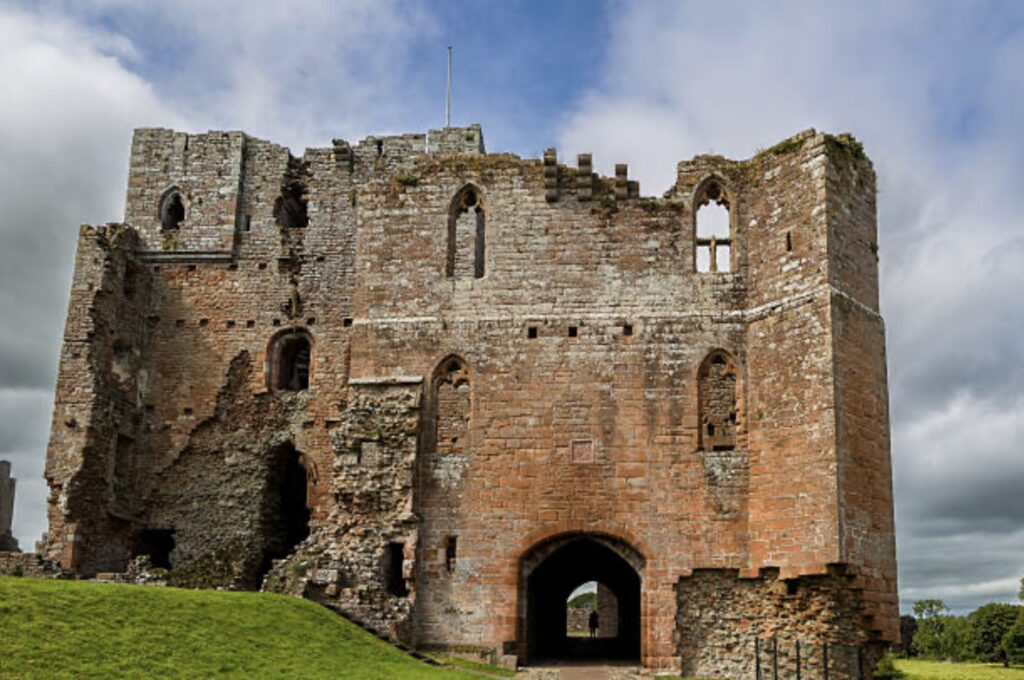
– Ideal for rural and hard-to-access landscapes – Non-invasive for historic and archaeological sites – Faster turnaround than traditional methods – Accurate data for planning and analysis – Reduced on-site disruption risk while improving accuracy.
For drone surveying,
3D modelling, or aerial mapping
in the South West –
Contact Horizon Aerial Insight to chat about your project and receive a tailored quote.